> From the WeatherWatch archives
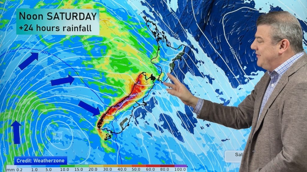
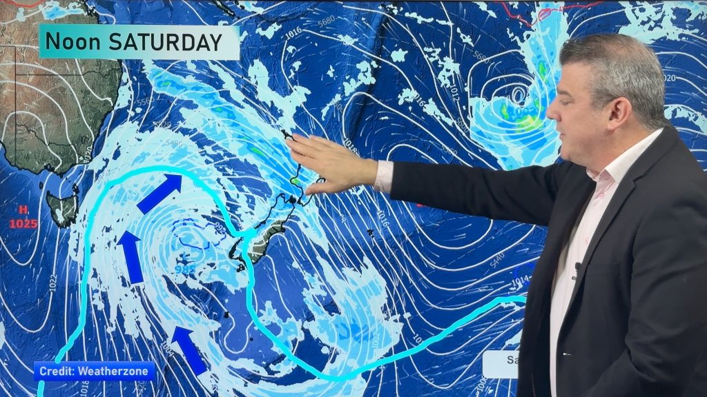
On Friday we have a strong northwesterly airflow over NZ, while a front moves over the South Island during the morning and afternoon.
The front then moves onto the lower North Island later in the day or overnight, weakening as it goes.
The main features will be strong northwesterly winds ahead of the front – with gales possible in eastern areas – from North Canterbury through to the Cook Strait Wairarapa area.
Then there is the heavy rain for the West Coast of the South Island.
Cold upper air brings some instability to Southland and Coastal Otago in the afternoon and evening, this could lead to heavy showers, hail and possibly some thunderstorms.
Expect warm to hot temperatures in the east – before the front moves in, with thick high cloud.
Most of the country will have a cloudy day, with rain or showers affecting most regions for a time.
The East Coast of the North Island will most likely have the sunniest and driest weather, with high cloud then increasing and spreading northwards during the afternoon and evening as that same front slowly moves northwards later in the day.

– Aaron Wilkinson & Drew Chappell, WeatherWatch.co.nz
Comments
Before you add a new comment, take note this story was published on 26 Nov 2015.


Add new comment