Tuesday’s national forecast – Cold front hits the far south
3/10/2022 11:00am

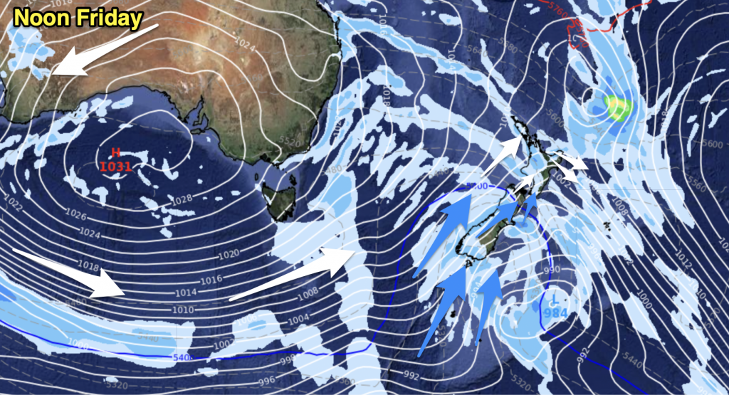
The weather around New Zealand is not to bad today especially in the east, the upper North Island has a few showers and so does the West Coast. It’s Southland that gets a cold front moving in around midday bringing rain and this eventually reaches into Canterbury later this evening / overnight. Cold air for the far south overnight also.
Northland, Auckland, Waikato & Bay Of Plenty
Cloudy areas, a shower or two. Winds are mostly light, tending southwest, especially for Northland. Overnight westerlies pick up with cloud thickening in the west and showers becoming a little more likely.
Highs: 16-18
Western North Island (including Central North Island)
Mostly sunny, a few clouds from afternoon as light winds tend northwest. Cloud thickens up overnight at which point there may be a light shower or two.
Highs: 13-17
Eastern North Island
Sunny, morning cloud / showers north of Napier clearing away, southwesterlies die out and winds tend light northeast in the afternoon. Afternoon northwesterlies for Wairarapa.
Highs: 15-17
Wellington
Partly cloudy with northerly winds picking up from late morning.
Highs: 13-15
Marlborough & Nelson
Morning cloud then sun and high cloud, northwesterly winds.
Highs: 15-17
Canterbury
Mostly sunny with northerly winds and warm temperatures, some high cloud develops. In the evening winds change southwest with rain developing about South Canterbury then spreading northwards overnight.
Highs: 16-19
West Coast
Mostly cloudy with a few showers, rain develops about Fiordland around midday then spreading northwards in the evening. Westerlies change southwest later in the day or overnight. Snow lowers overnight to 300m about the ranges of Fiordland, above 800m for Buller.
Highs: 11-14
Southland & Otago
Rain develops late morning for Southland then Otago mid to late afternoon as northwesterlies change southwest. Some sun before rain moves in. Snow flurries lower to 400 – 300m overnight.
Highs: 11-17


Add new comment