Tuesday’s headlines (x3): Cold sou’westerlies spread north, Strong winds in the east, Calms down on Wed
20/03/2023 6:00pm

> From the WeatherWatch archives
Here’s what is making the weather headlines today….
COLD SOUTHWESTERLIES SPREAD NORTHWARDS
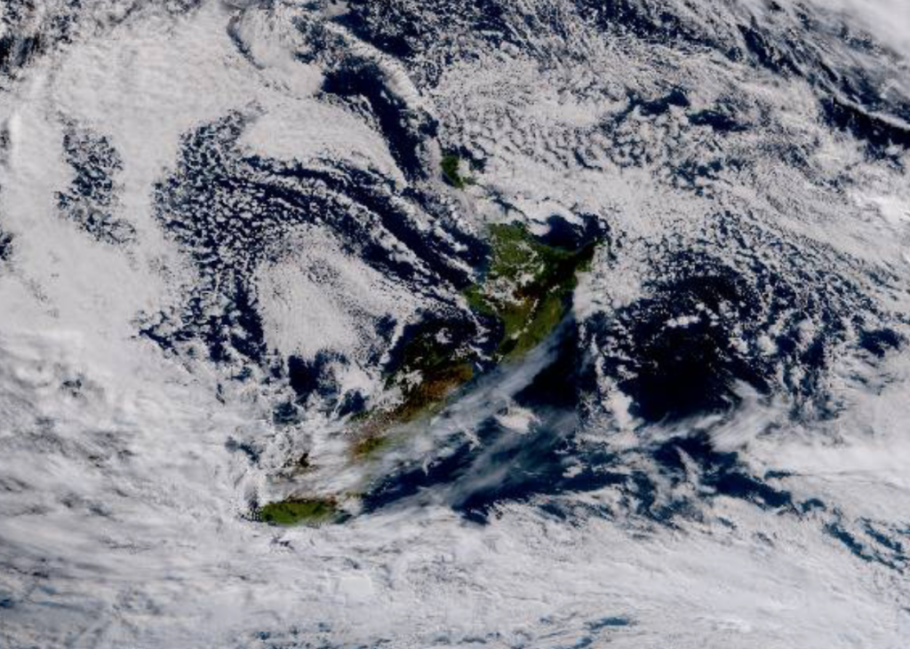
A cold front moves over the North Island today bringing rain, northwesterlies precede the front then changing west to southwest in behind.
As for thunder, a cold pool of air could bring thunderstorms to North Westland this morning then Taranaki this evening.
Rain about the far south with heavy falls for Otago this morning, easing to showers this afternoon and clearing away from inland areas tonight. Strong to gale southwesterly winds move through Canterbury this morning with rain, it may be heavy for a time then easing in the evening with showers becoming restricted to the coast. Strong southerly winds move into Wellington this afternoon, pushing up the east coast this evening with rain. Southeasterlies freshen in the west up through to Taranaki during the evening also.
Expect some snow today about the Main Divide to 1000 or perhaps even 800m however for the ranges of Southland and Otago snow may get to 600m.
Metservice has various weather warnings out, wind and rain warnings can be seen here. Thunderstorm watches / warnings can be seen here.
You can also check out our website ruralweather.co.nz, search your location and you can dial in when rain is due, how much and how strong winds may be.

STRONGEST WINDS IN THE EAST
As alluded to above we have strong winds pushing up the eastern side of the country today, right on the coast severe gales are possible for the eastern South Island especially about bits of land that stick out like Otago Peninsula and Banks Peninsula.
Southerly quarter winds move into Wellington this afternoon then up each coastline in the east and west this evening although they wont be as strong as further south.

Surface winds – Tue 21st March 2023 4:00pm – ECMWF Weatherzone.com.au 
Surface winds – Wed 22nd March 2023 1:00am – ECMWF Weatherzone.com.au
IT ALL STARTS TO CALM DOWN ON WEDNESDAY
High pressure is on the way from Wednesday so it all calms down, but Friday it starts moving out to the east, this can be a good and bad thing. The good being warmer temperatures return for eastern regions thanks to an incoming northerly quarter airflow, the bad if you can call it that depending on your point of view rain moves into western regions especially the West Coast.


Comments
Before you add a new comment, take note this story was published on 20 Mar 2023.
Latest Video

VIDEO: We’re (sort of) back! – A taste of winter coming for NZ
High pressure is the main feature of NZ’s weather this week but there are some showery and windy surges This…
Related Articles
VIDEO: We’re (sort of) back! – A taste of winter coming for NZ
High pressure is the main feature of NZ’s weather this week but there are some showery and windy surges This…

Front coming in from the southwest, strong winds in the south
Situation A cold front pushes in from the southwest today, already Southland and the West Coast is being affected with…
Settled today and for most of this week
Situation A high pressure system covers most of the country today with it’s centre being planted in the Tasman Sea….


Add new comment